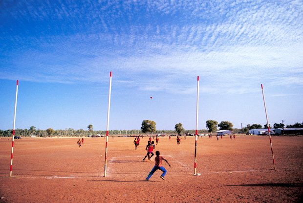
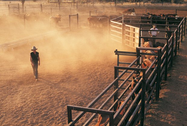

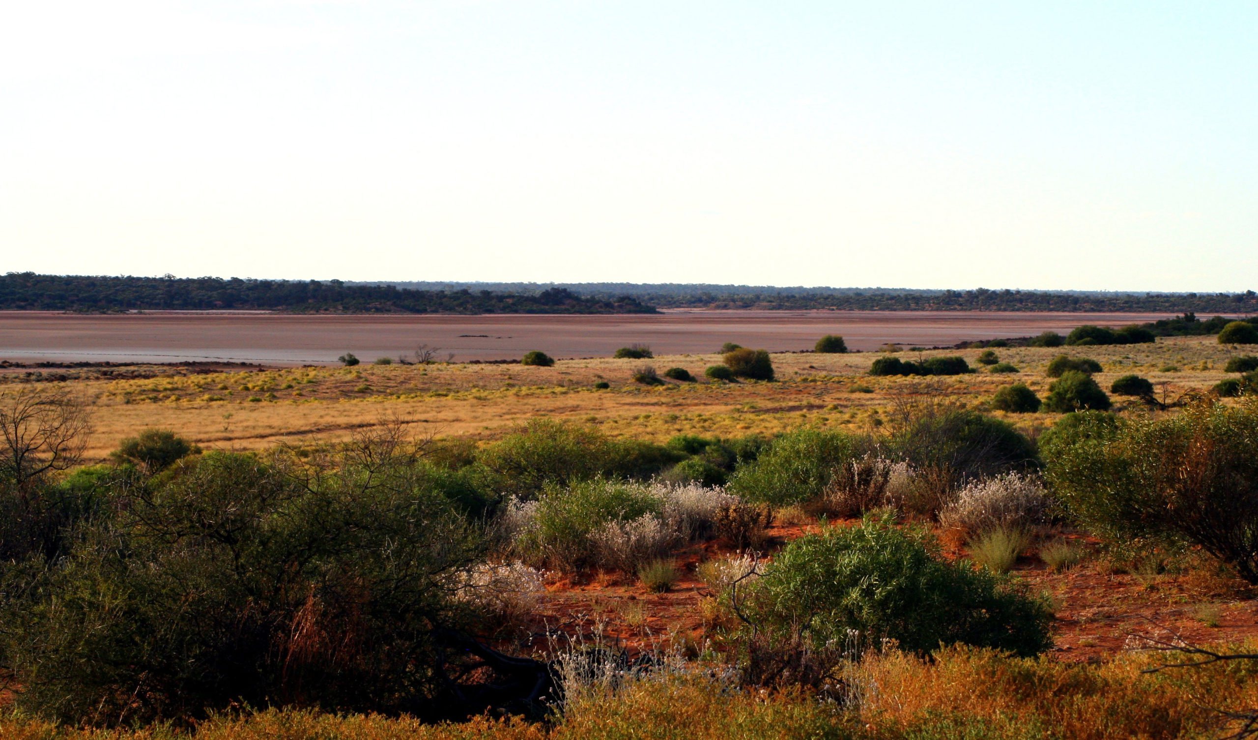
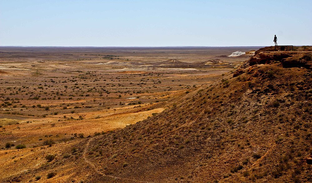

GALLERY: Australia’s desert landscapes
13 April 2016

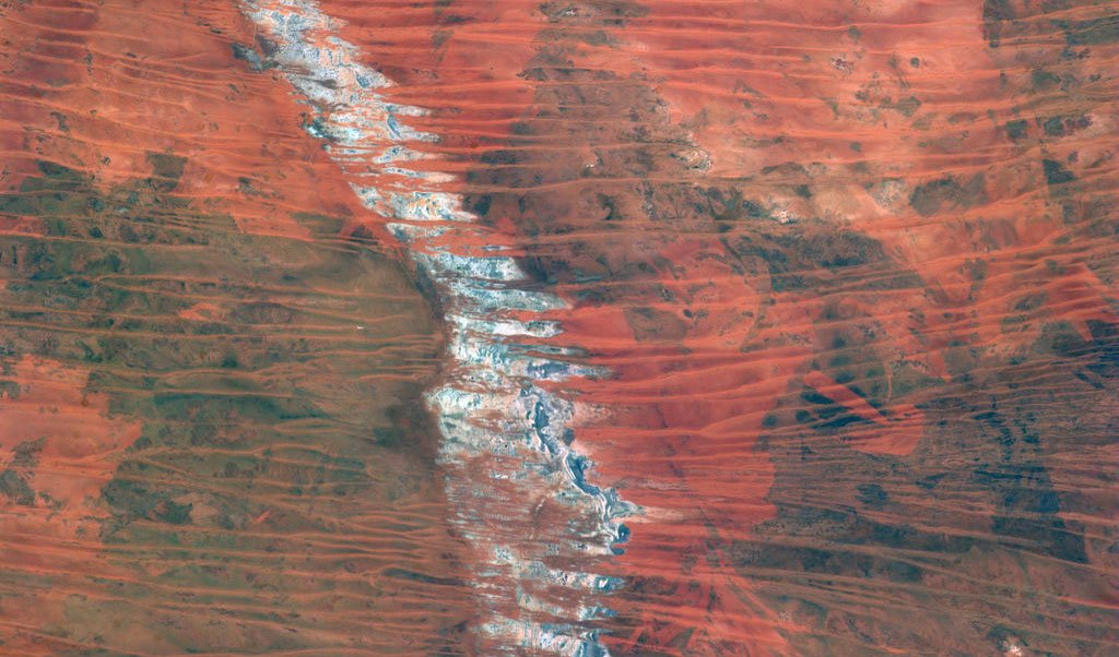
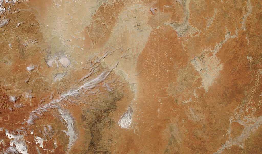
The Great Sandy Desert, as seen from the ISS.
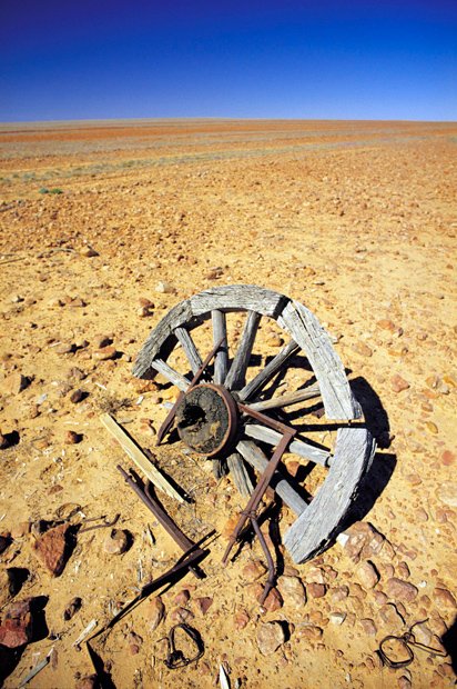
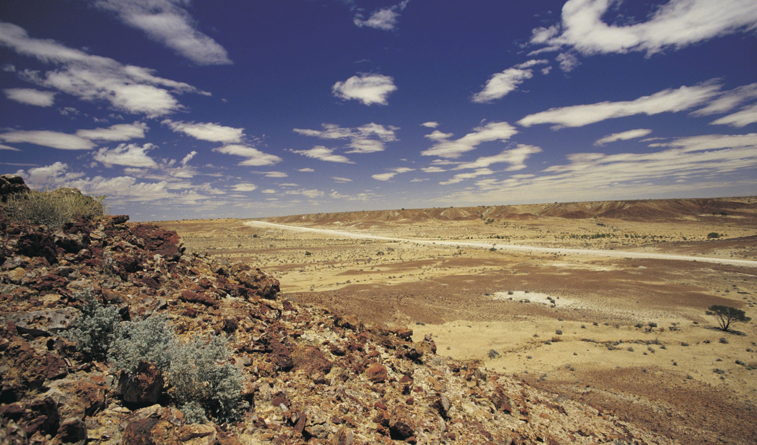
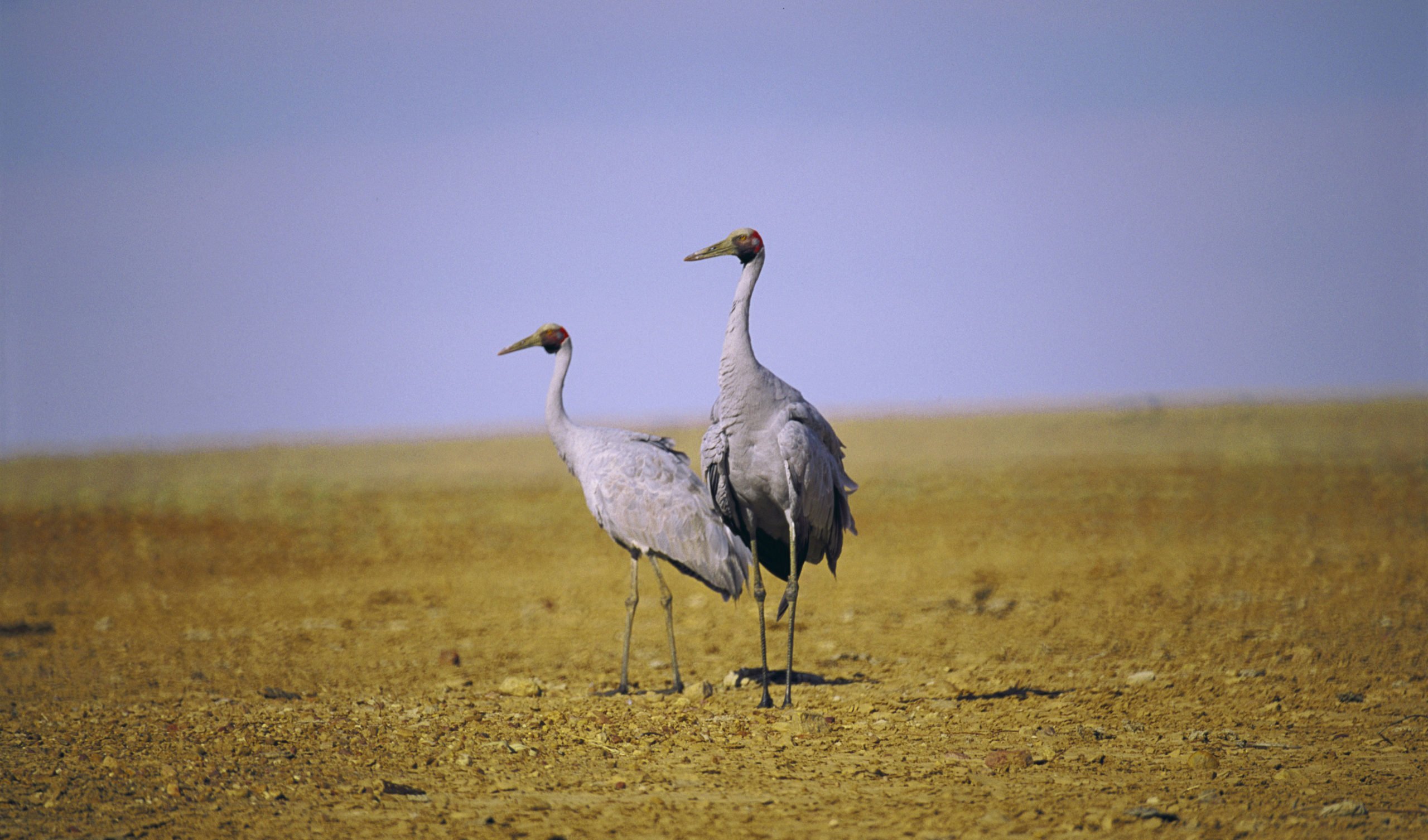
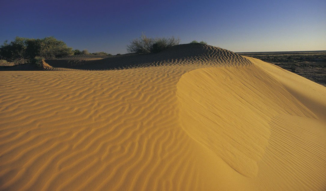
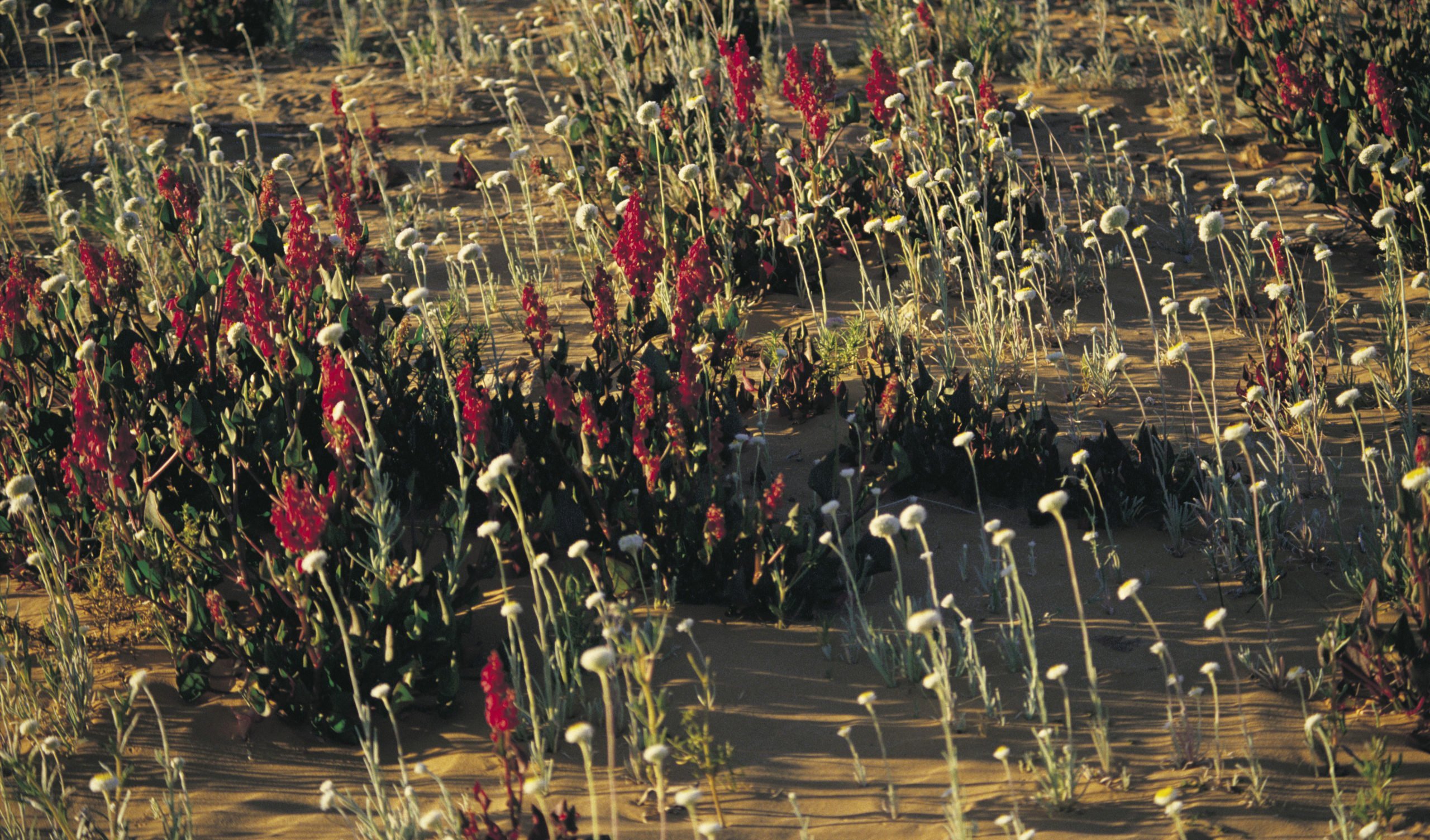
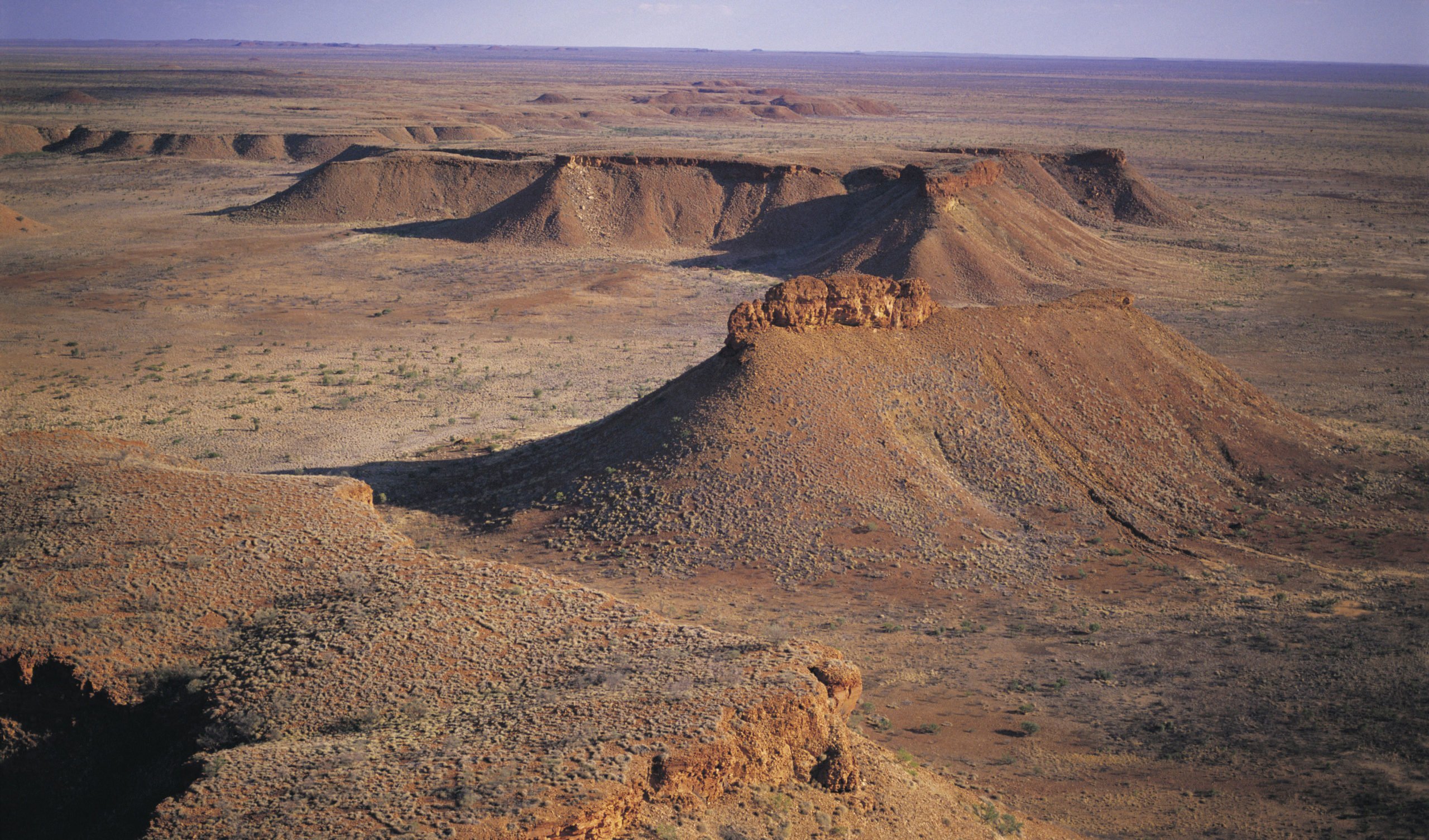
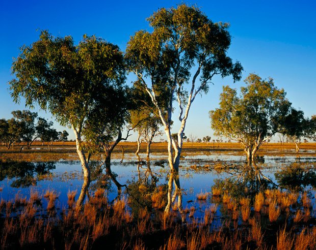
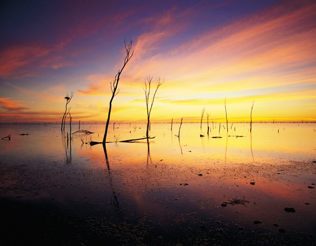
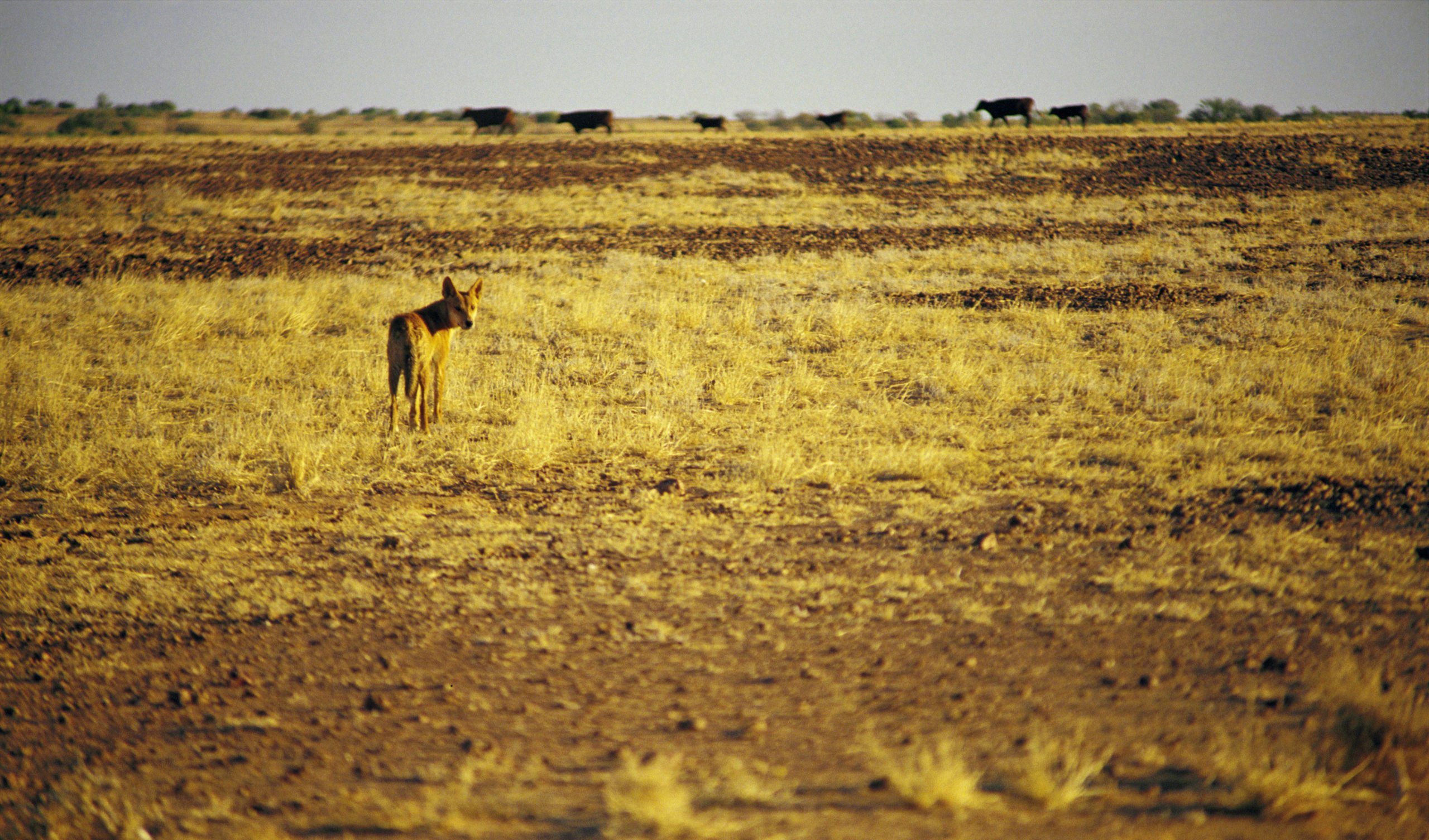
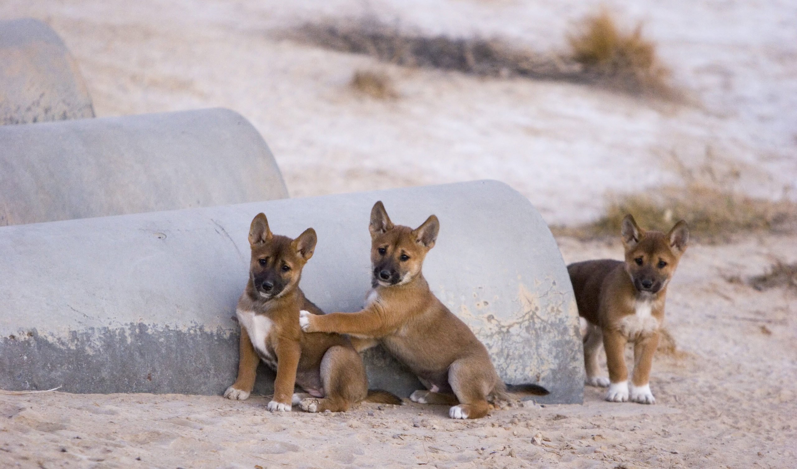
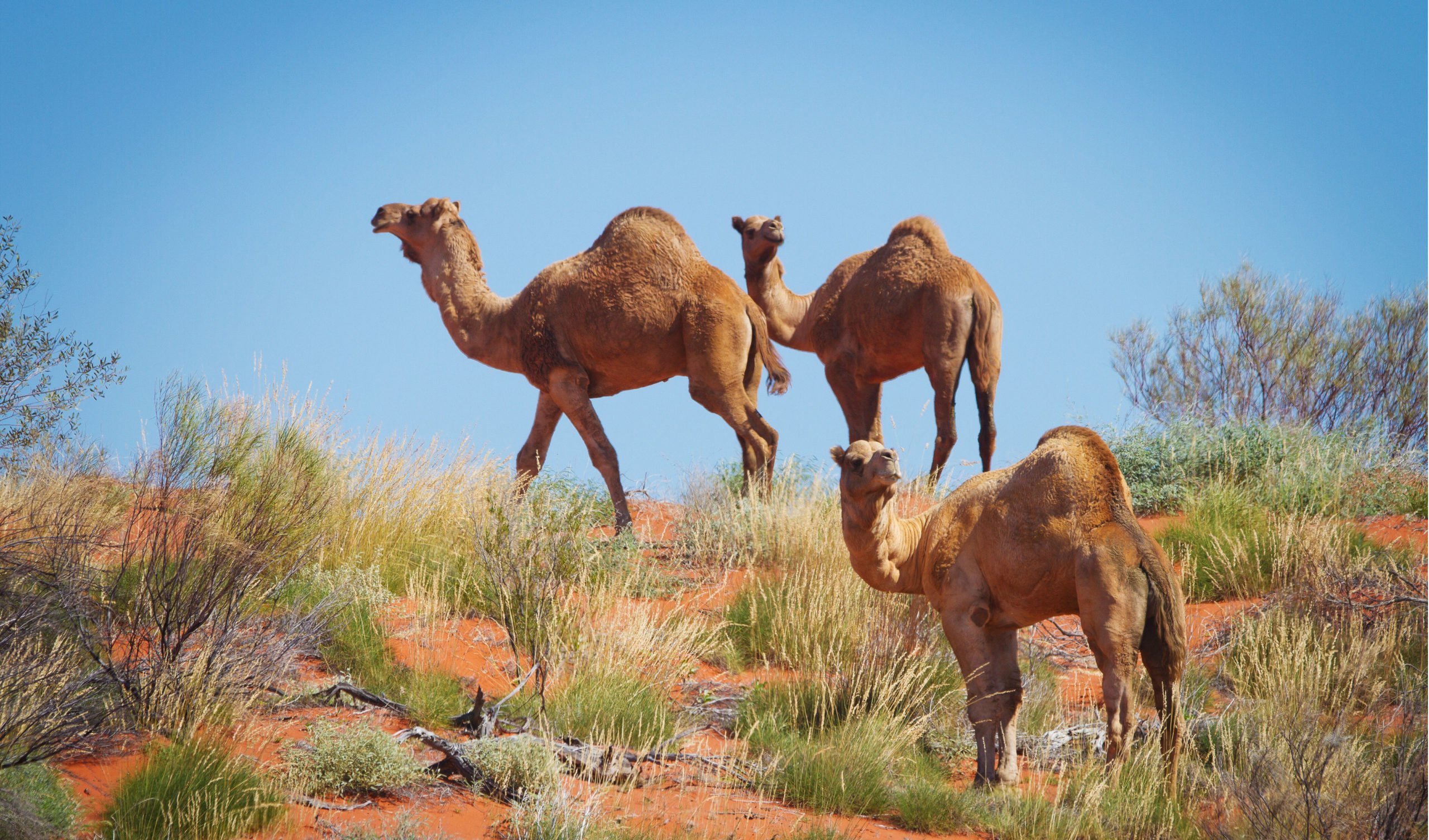
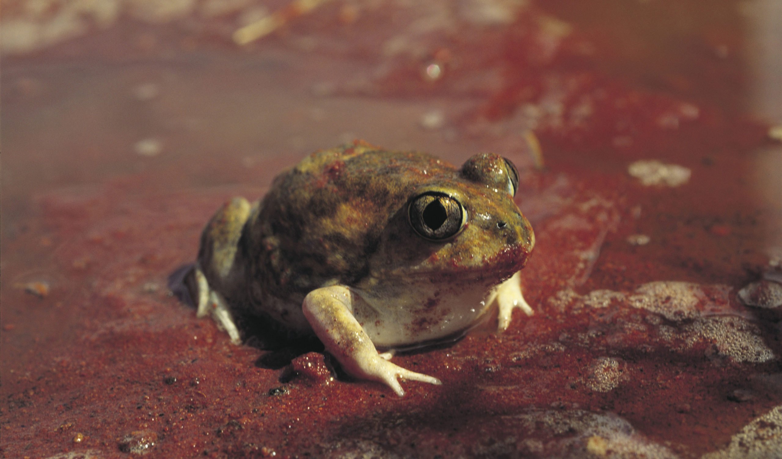
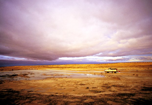
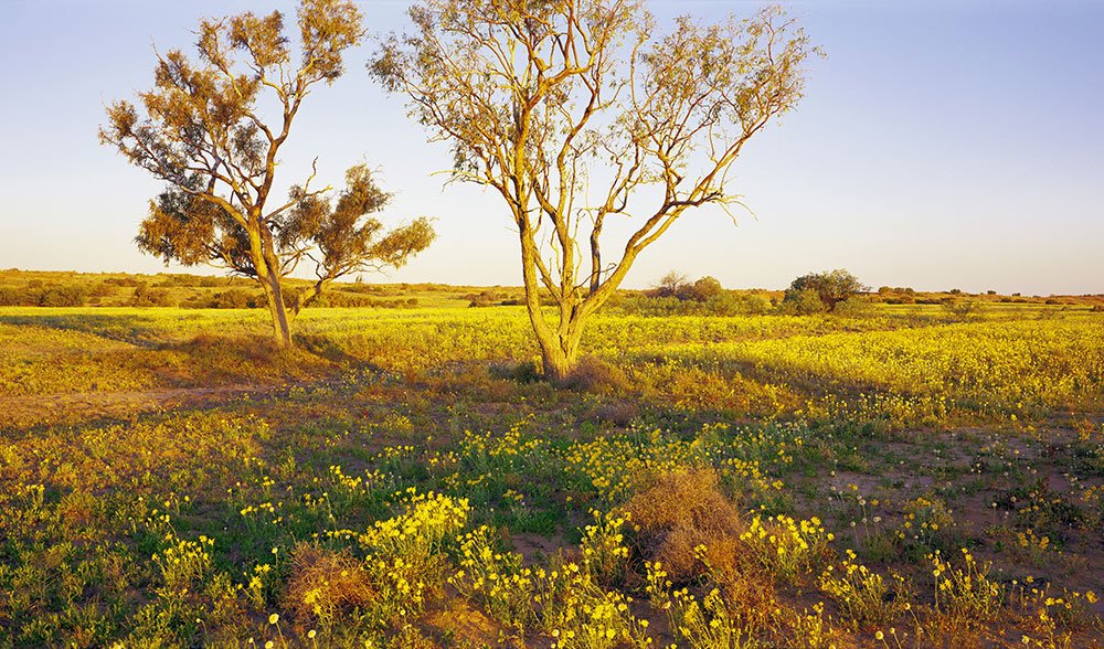
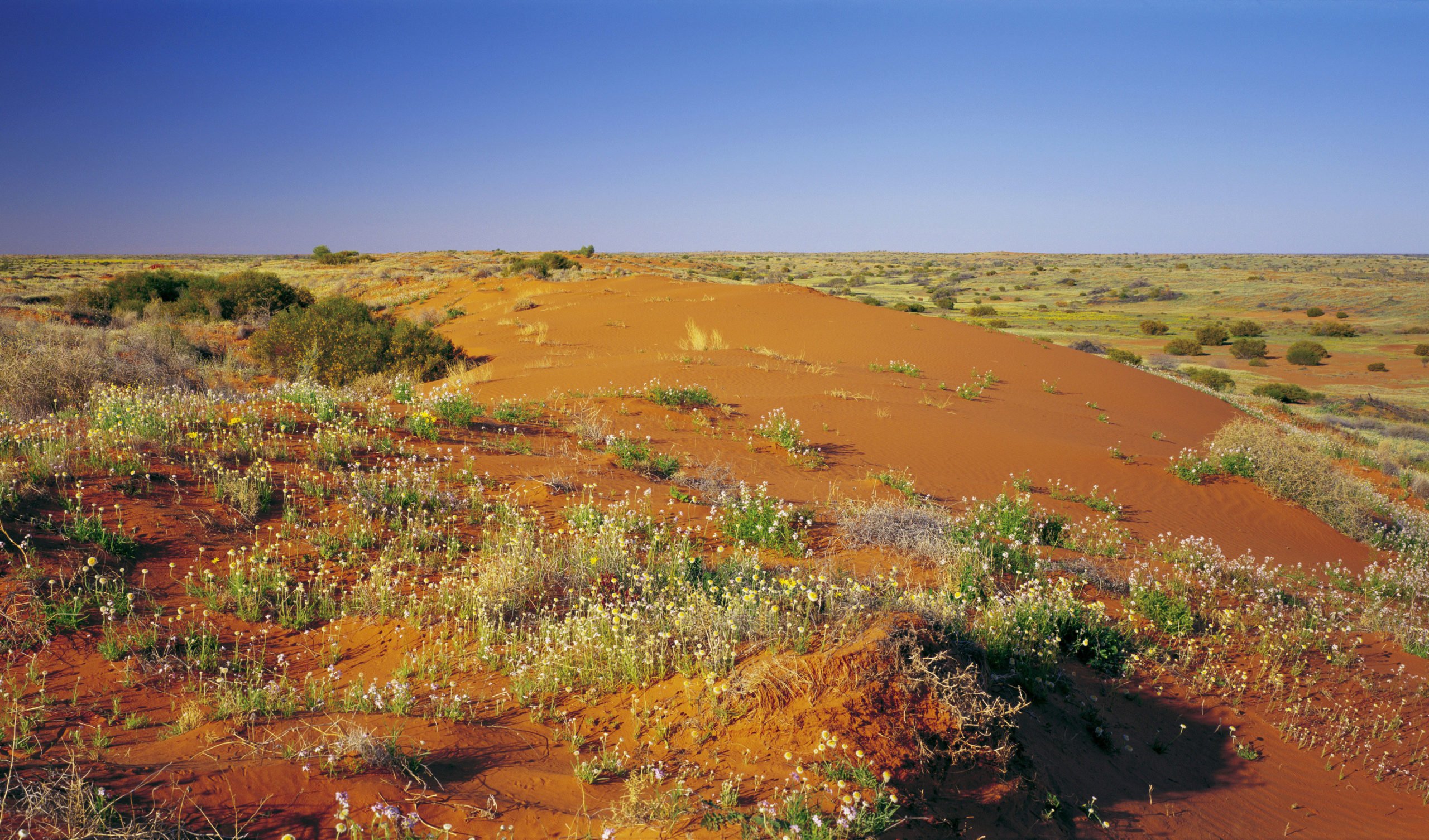
An arid country, 18% of Australia is considered desert and it is home to the sixth biggest desert in the world, the Great Victoria Desert. Virtually uninhabited by humans, Australia’s desert landscapes contain unique and resilient endemic plants and animals.


