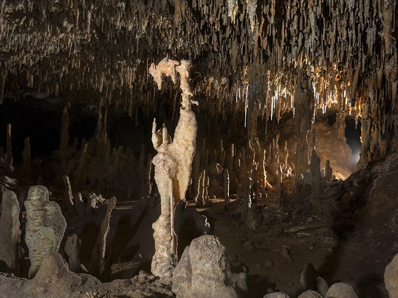
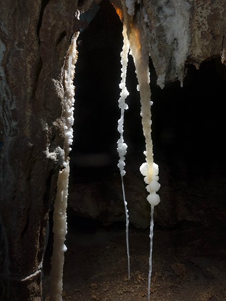
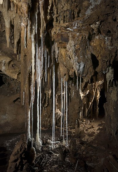

Nullarbor Caves: Australia’s hidden world
23 November 2015
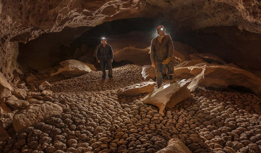
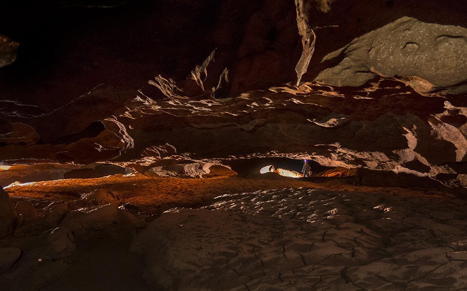
Cracks of a wetter time show up in the clay floor of a limestone cave.
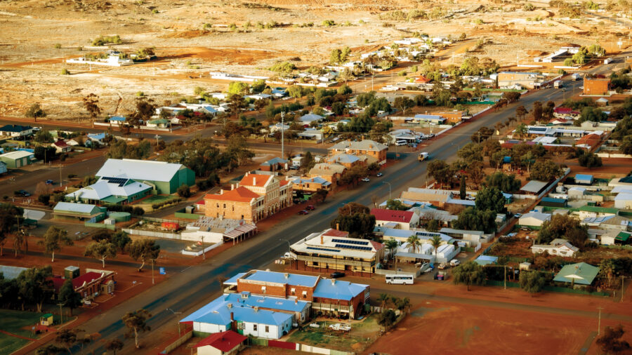
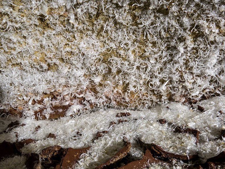
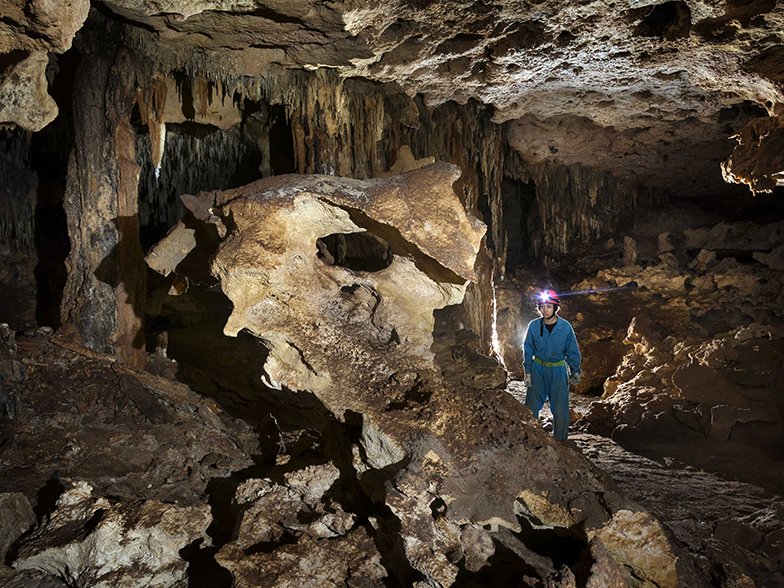
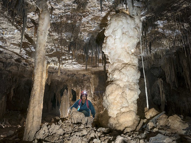
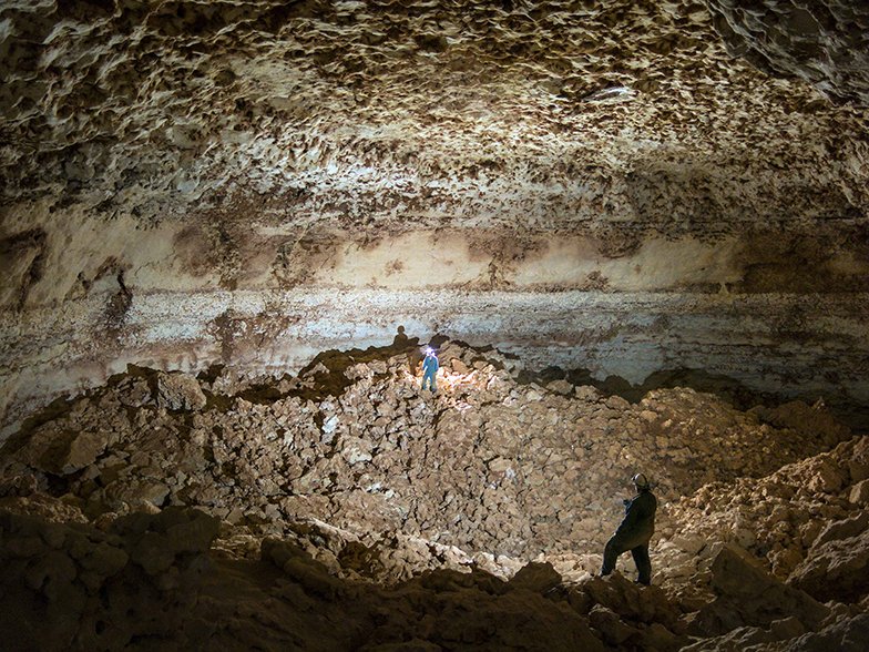
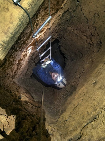
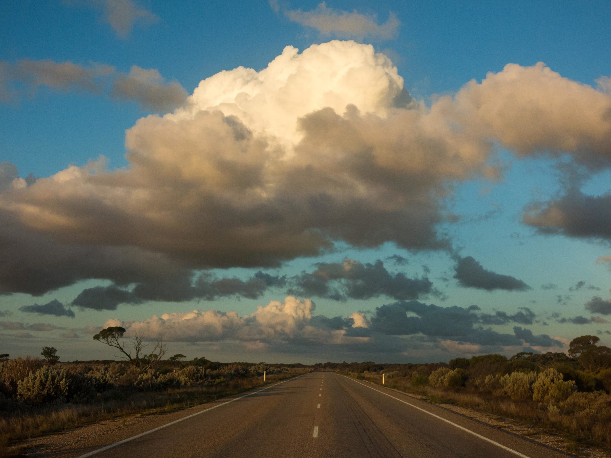
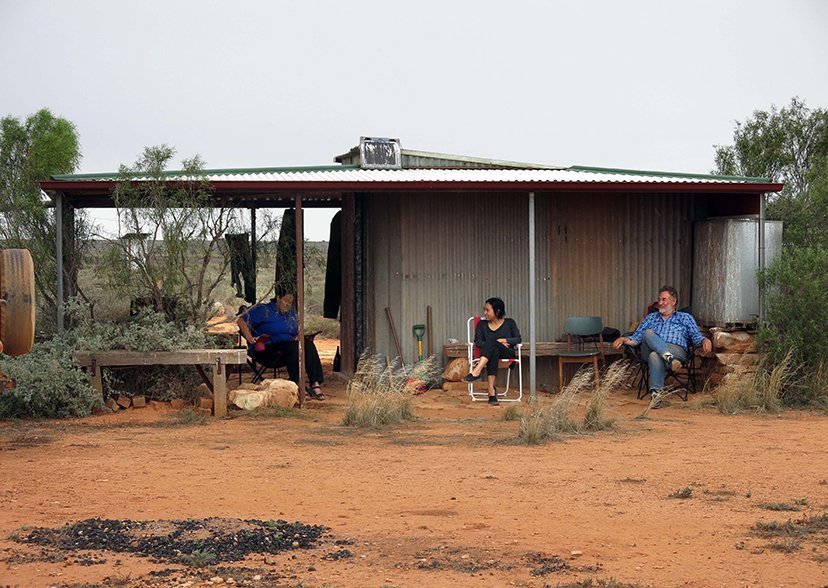
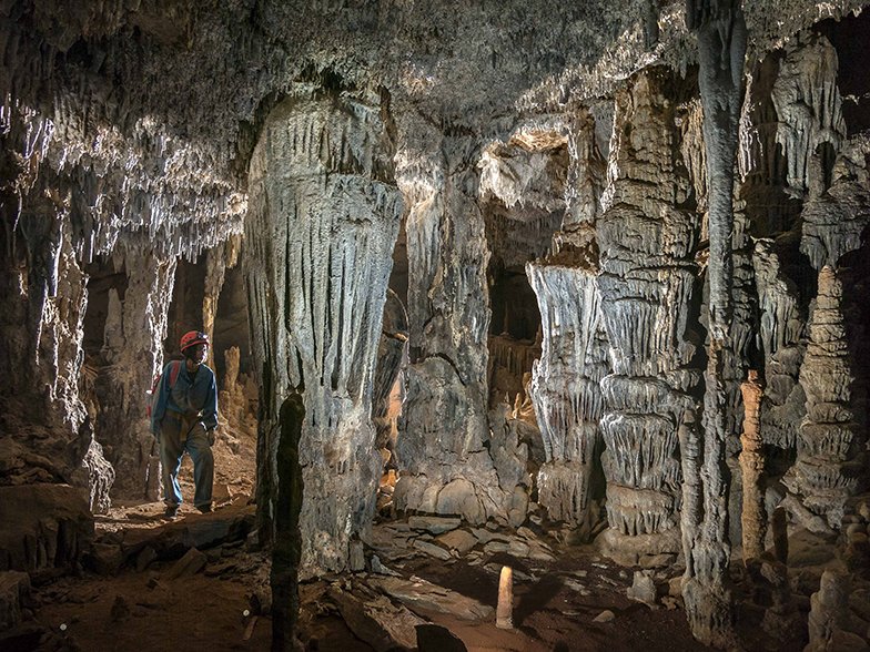
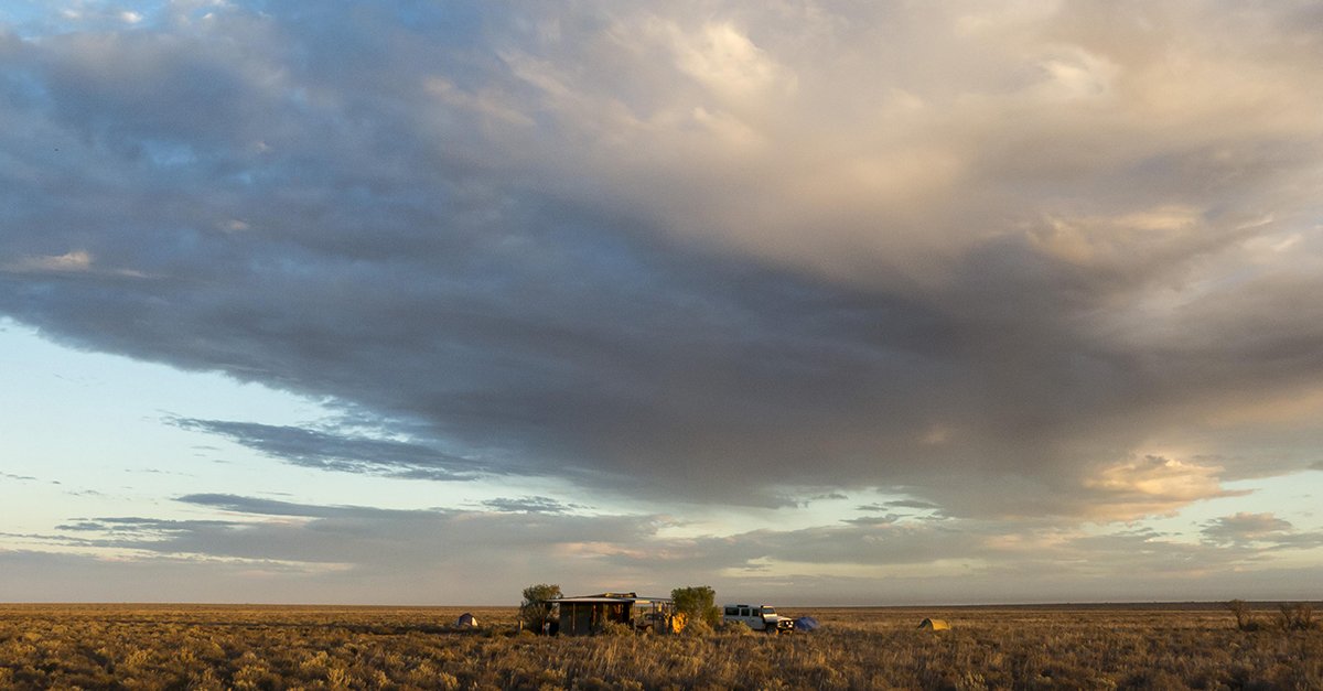
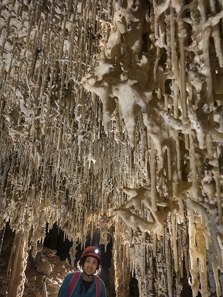
The Nullarbor Plain, the world’s largest limestone karst landscape, is tens of millions of years old. The Nullarbor – a dry, flat, 200,000sq.km savannah – stretches 1100km along the southern coast of Australia from Balladonia east of Norseman, WA, to north of Yalata in SA. Above ground it is famously featureless. Edward John Eyre, the first European to cross the Nullarbor in 1840–1841, described it as the “sort of place one gets into in bad dreams”. But beneath the surface is a complex world of tunnels within a vast slab of limestone. Much of southern Australia is also riddled with smaller blocks of limestone.
Find the full story in the Jan/Feb issue (#130) of Australian Geographic.