A complete guide to Theodore, QLD

Theodore lies on the eastern side of the Great Dividing Range, and boasts a tropical character with a palm-lined boulevard and pretty timber houses.
The town began as a small inland settlement called Castle Creek, which was formed in 1923 when the Queensland government acquired land from larger properties in the district.
The plan was to develop a sophisticated irrigation system, sell small blocks of land, build a model garden city and surround it with 5000 small farms all reliably irrigated by the waters of the Dawson Valley.
The irrigation project was the first of its kind in Queensland, and the state government built accommodation to house future workers of the irrigation scheme. A booklet produced at the time described the future town of Theodore as being “planned on the most modern lines”, due to its spacious boulevard and avenues planted with shade trees and palms.

Location
Theodore is 562km from Brisbane via the Warrego and Leichhardt highways. It’s 140m above sea level.
Origin of Name
The town was originally known as Castle Creek, but was renamed Theodore in 1926 after the then-premier of Queensland, Edward Granville ‘Red Ted’ Theodore, who was a major supporter of the Dawson Valley irrigation scheme.
Vistor Information
Theodore Visitor Information Centre
55 The Boulevard, Theodore. [email protected]
Useful Websites
outbackqueensland.com.au/town/theodore/
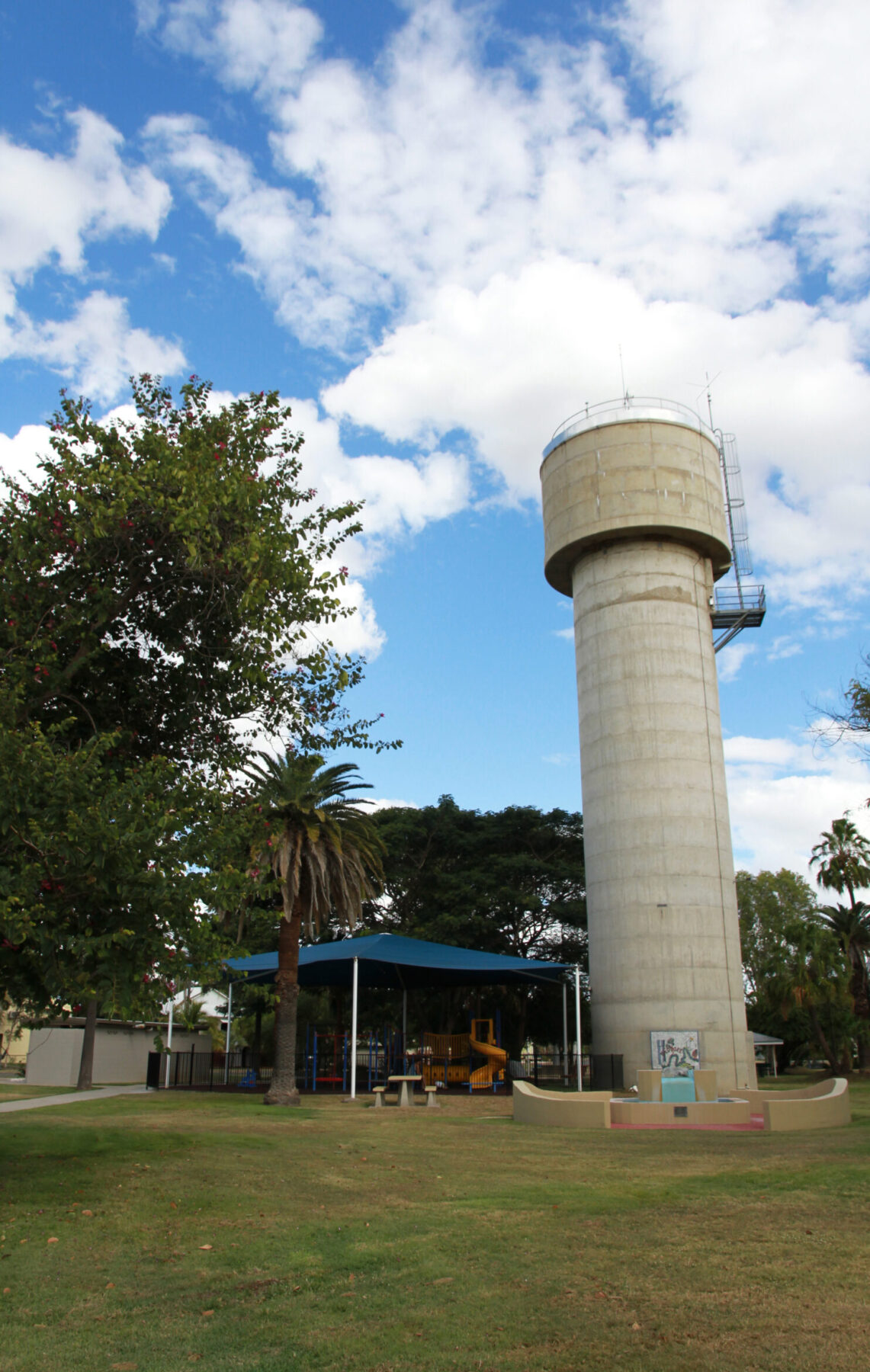
Image: The water tower that stands in Neville Hewitt Park is a nod to Theodore’s history as the heart of an irrigation scheme. Credit: courtesy Banana Shire Council
After completion of the irrigation scheme in 1926, the town gradually expanded to include a public hall with a cinema, shops, a sawmill, electricity generation plant, and even a cheese factory that operated from 1942 to 1952.
Theodore’s population peaked in 1961 with 713 residents. Today, Theodore has a population of about 450. It’s an important service town for the surrounding district, and is a 30-minute drive from Isla Gorge National Park.
Places of Interest

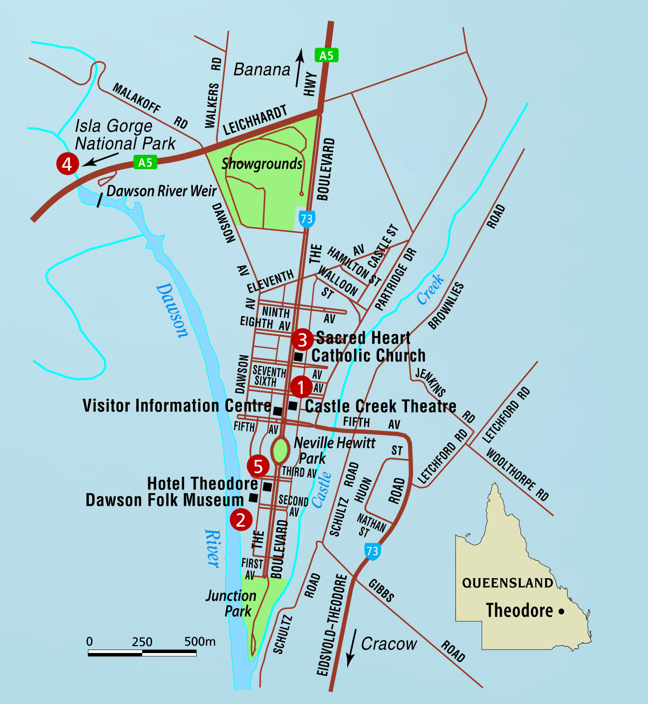
1. Historic Buildings
Theodore is one of those towns where visitors should just wander. The streets are gloriously wide and well planned and there are many interesting historic buildings to discover, from churches to a number of classic “Queenslanders” (houses elevated so they can be cooled by the breeze).
Keep your eyes peeled for the town’s many eccentricities, such as the Castle Creek Picture Theatre on the main
street. Built in 1935 after a fire in the open-air theatre owned by local businessman Allan Holmes Snr, the cinema was operational until 1999. Since its closure, the building has been repurposed as a grocery store, home and garden retailer, cafe and community gym.
2. Dawson Folk Museum
Located in an old power house on the corner of Second Avenue and Dawson Parade, the Dawson Folk Museum has a large collection of photographs, information about the Wulli Wulli Traditional Owners, early European settlers, town plans and farm machinery.
3. Roman Catholic Church
The Sacred Heart Catholic Church is an excellent example of Queensland vernacular wooden architecture. The weatherboard church was Theodore’s first; it was consecrated in 1934.
4. Isla Gorge National Park
he spectacular Isla Gorge National Park, about 38km south of Theodore on the Leichhardt Highway, is home to arresting rock formations and a maze of gorges and sandstone outcrops. The park is jointly managed by the Wulli Wulli Traditional Owners and the Parks and Wildlife Service, part of the Queensland Department of Environment and Science. Here you’ll find a rich diversity of life, including wedge-tailed eagles, frill-necked lizards and a mosaic of ecological communities. The Isla Gorge lookout is well worth a visit, but be careful – loose rocks can make the descent into the gorge dangerous. There are no formed or maintained walking tracks within the park.
5. Hotel Theodore

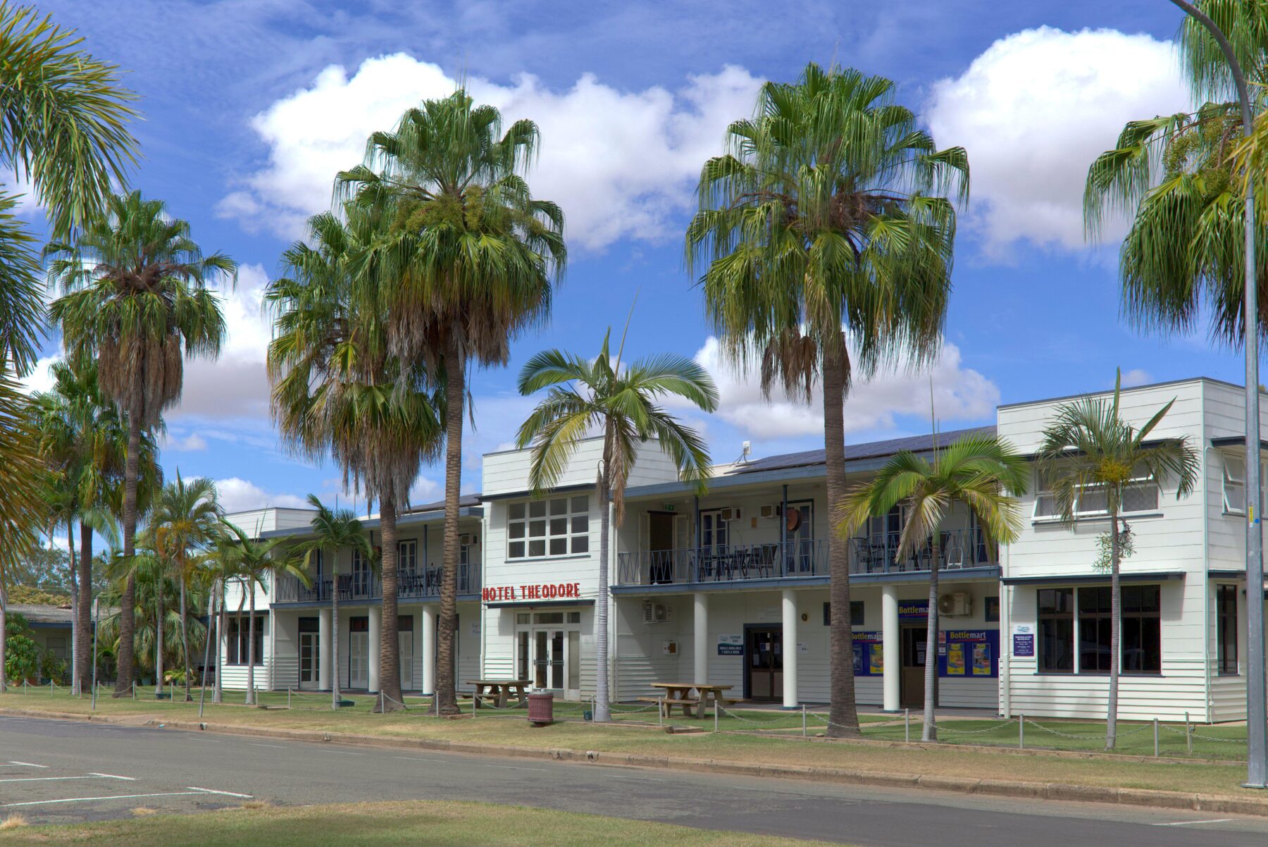
In the 1920s Hotel Theodore was built to house workers of the irrigation project. The Queensland Irrigation Commission owned the property and eventually acquired a liquor licence. In 1949 the hotel was converted to a community hotel, jointly owned and operated by locals. The building was purchased from the Irrigation Commission for £10,000. The profits from the hotel are still used to fund community activities and projects. Over the years, money has gone to the school, hospital and local clubs.

History
Before European settlement, the Wulli Wulli people occupied the Theodore area.
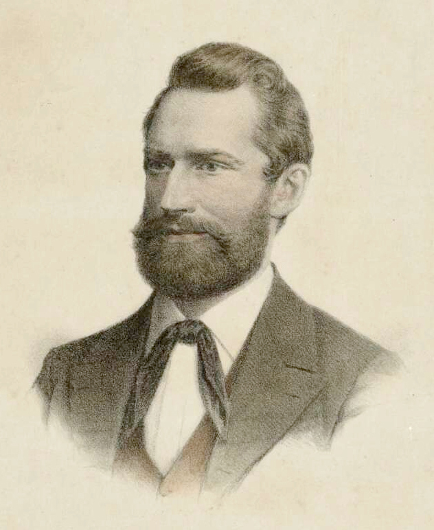
German explorer Ludwig Leichhardt (pictured, right) passed through the area in the 1840s.
The first European settler was Joseph Thompson, who took up a number of pastoral leases here in the 1850s.
The original settlement, Castle Creek, expanded to serve the needs of large properties in the Dawson Valley.
In the early 1920s, the Queensland government resumed land from the larger properties in the district for the Dawson Valley Irrigation Scheme.
The Theodore Irrigation Project opened in 1924.
From 1926 to 1958 the town was administered
by the Queensland Irrigation Commission.
In 1927 the Dawson Valley Branch Railway line connected Theodore to Baralaba. It was used to transport freight such as cattle and sheep.
The town flooded in 2010–11, with the Dawson River water levels exceeding 14m. The entire town was evacuated by private helicopters.
Today, the district is known for its rich black soil that is ideal for sorghum, wheat
and cotton crops. There is also extensive sheep and cattle breeding.
Image credit: National Library of Australia


