GALLERY: Drone images show a new view of Sydney
10 February 2015

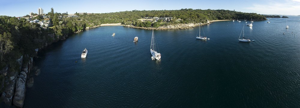
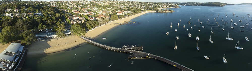
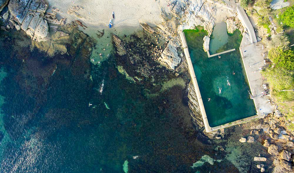
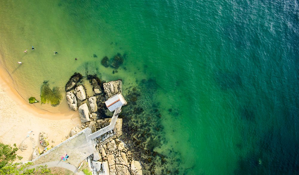
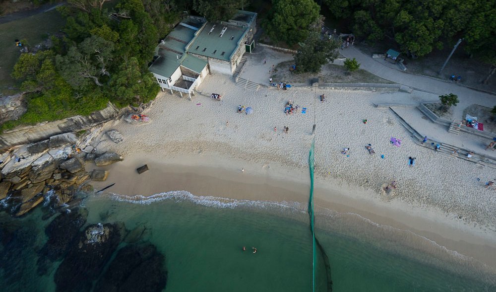
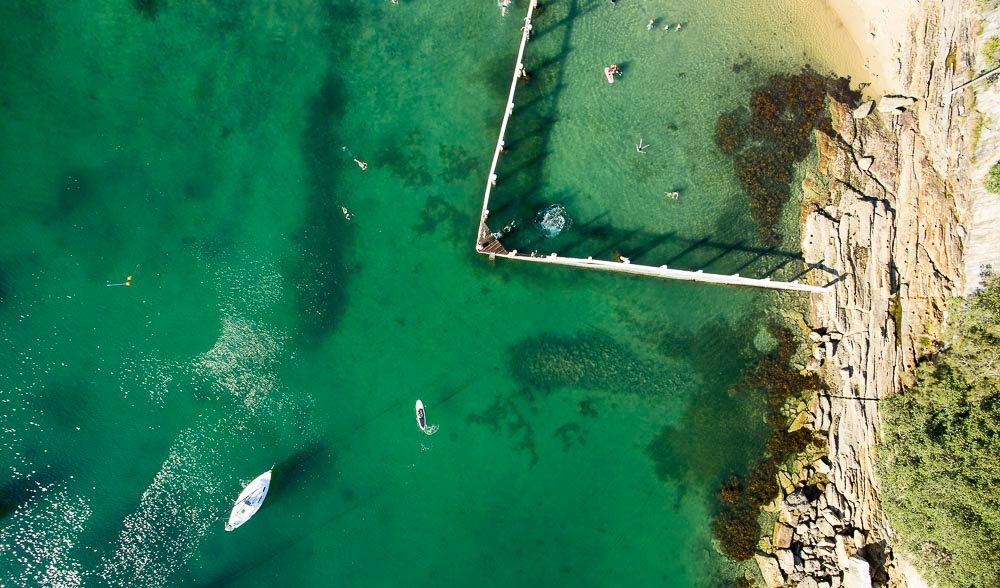
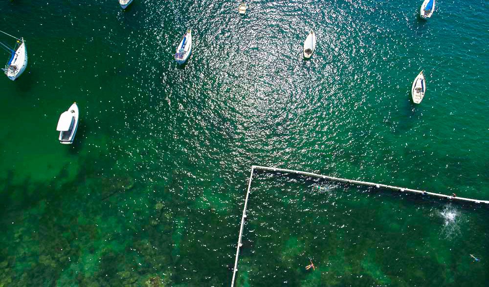
Fairlight Beach and tidal swimming pool. Drone technology has captured the interesting blue hues offered by the shallow waters off Fairlight Beach, a popular snorkelling location near Manly. (Photos: Andrew Gregory)
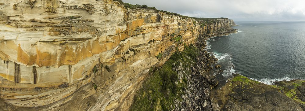
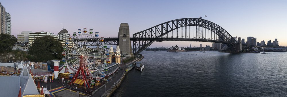
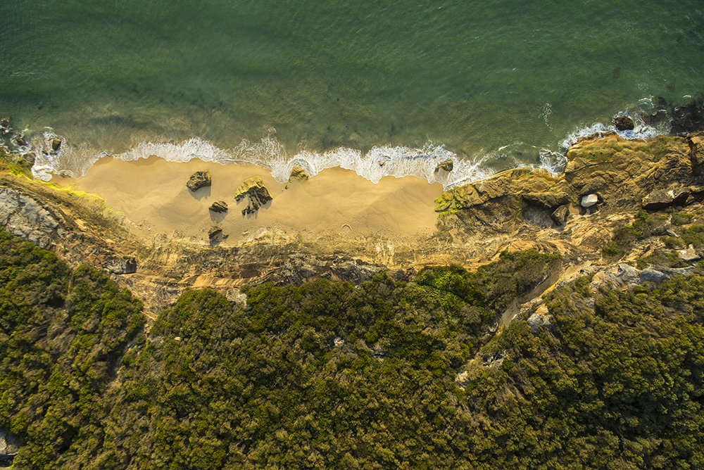
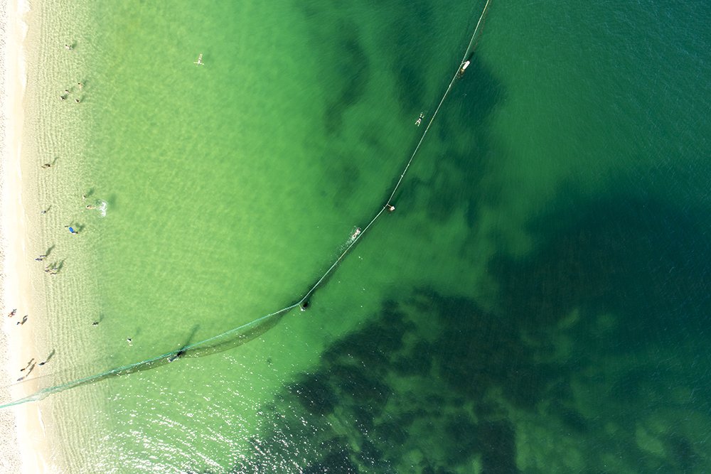
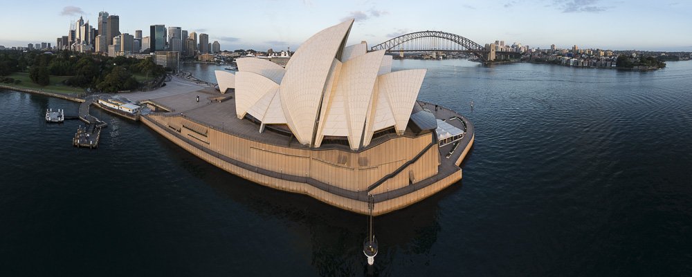
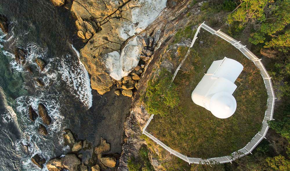
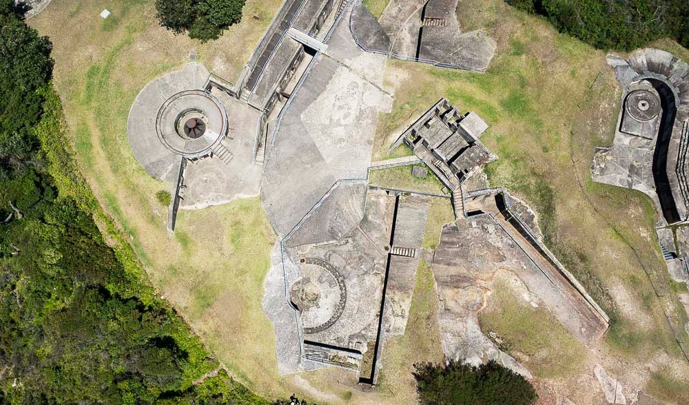
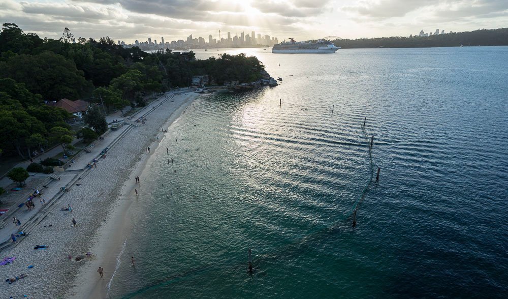
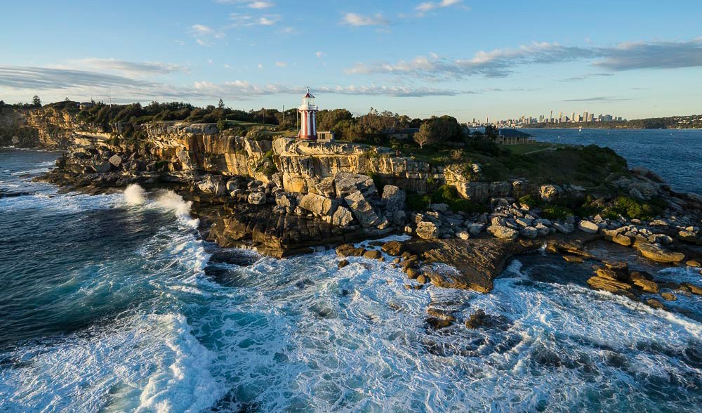
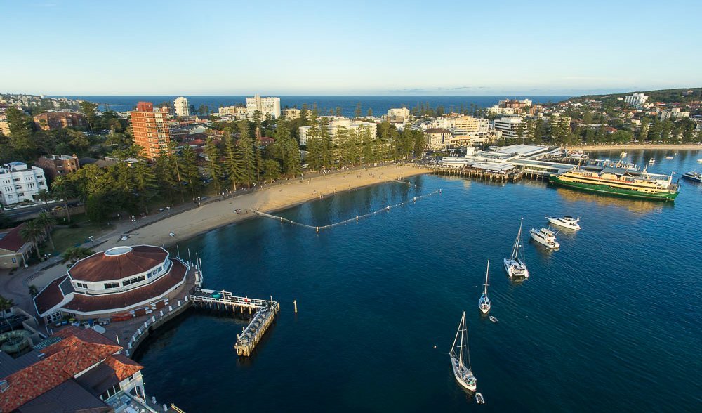
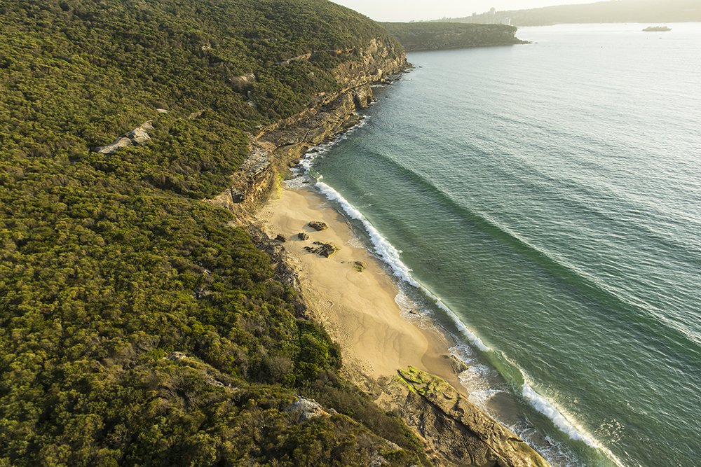
Is it a bird? Is it a plane? No, it’s a DSLR camera mounted on a drone. Veteran AG photographer Andrew Gregory has taken rare photos of normally inaccessible views of Sydney Harbour using drone technology. Drones or Remote-Piloted Aircraft (RPA) were originally designed for military operations and navigation but are now providing photographers with unique angles and never-before-seen birds-eye views.
See the full story in #125 of Australian Geographic.

